Excursions
In Kohlern there are hikes for every taste and fitness level. The area does not only offer a wonderful panoramic view of the Dolomites, but also places to stop for refreshments and quiet places to rest. Let the pictures and routes below inspire you.

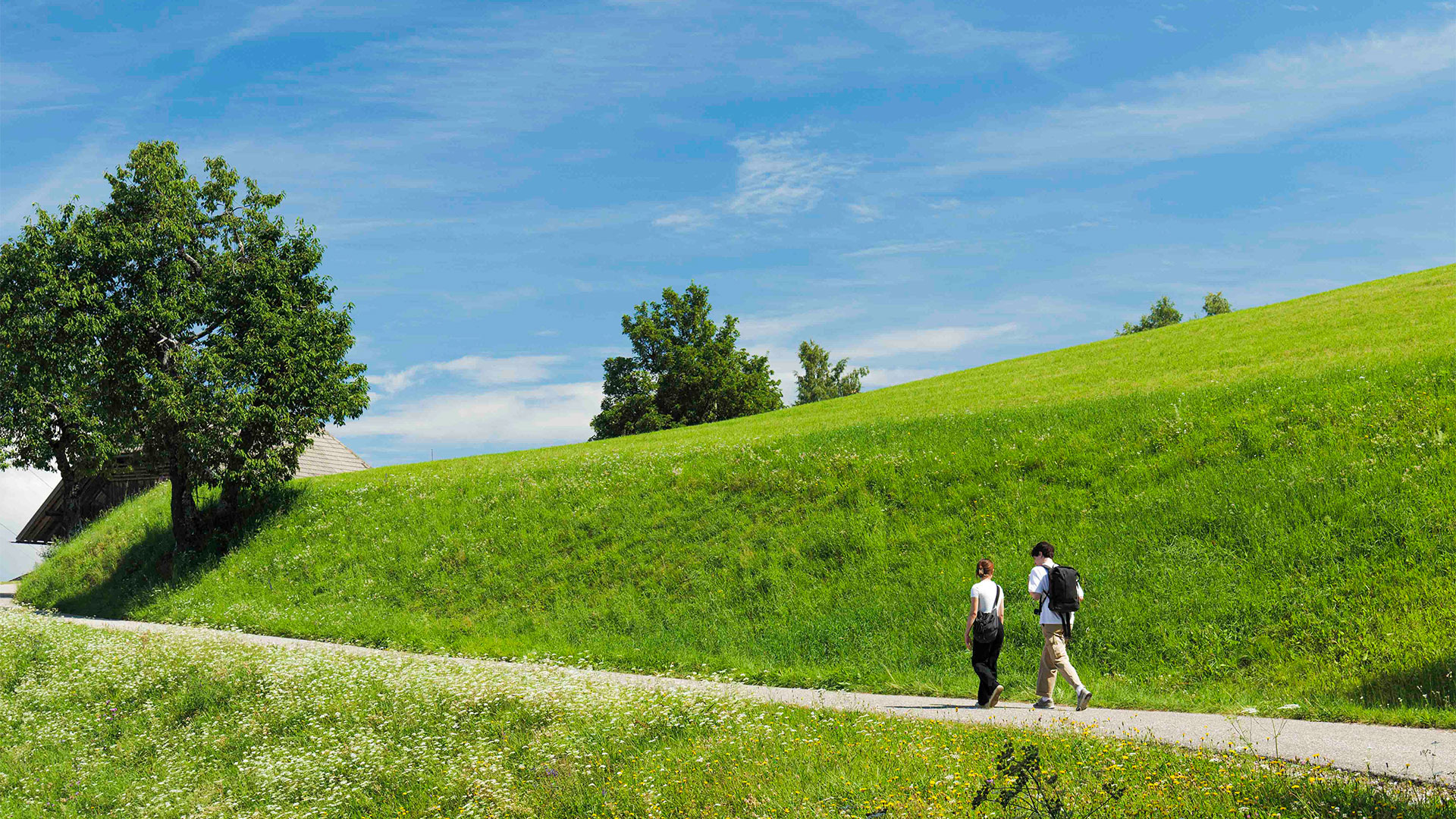


A Hike for Everyone
01 | Forest walk with panoramic surprise
8.5 km – 2:45 h – ↑↓ 440m
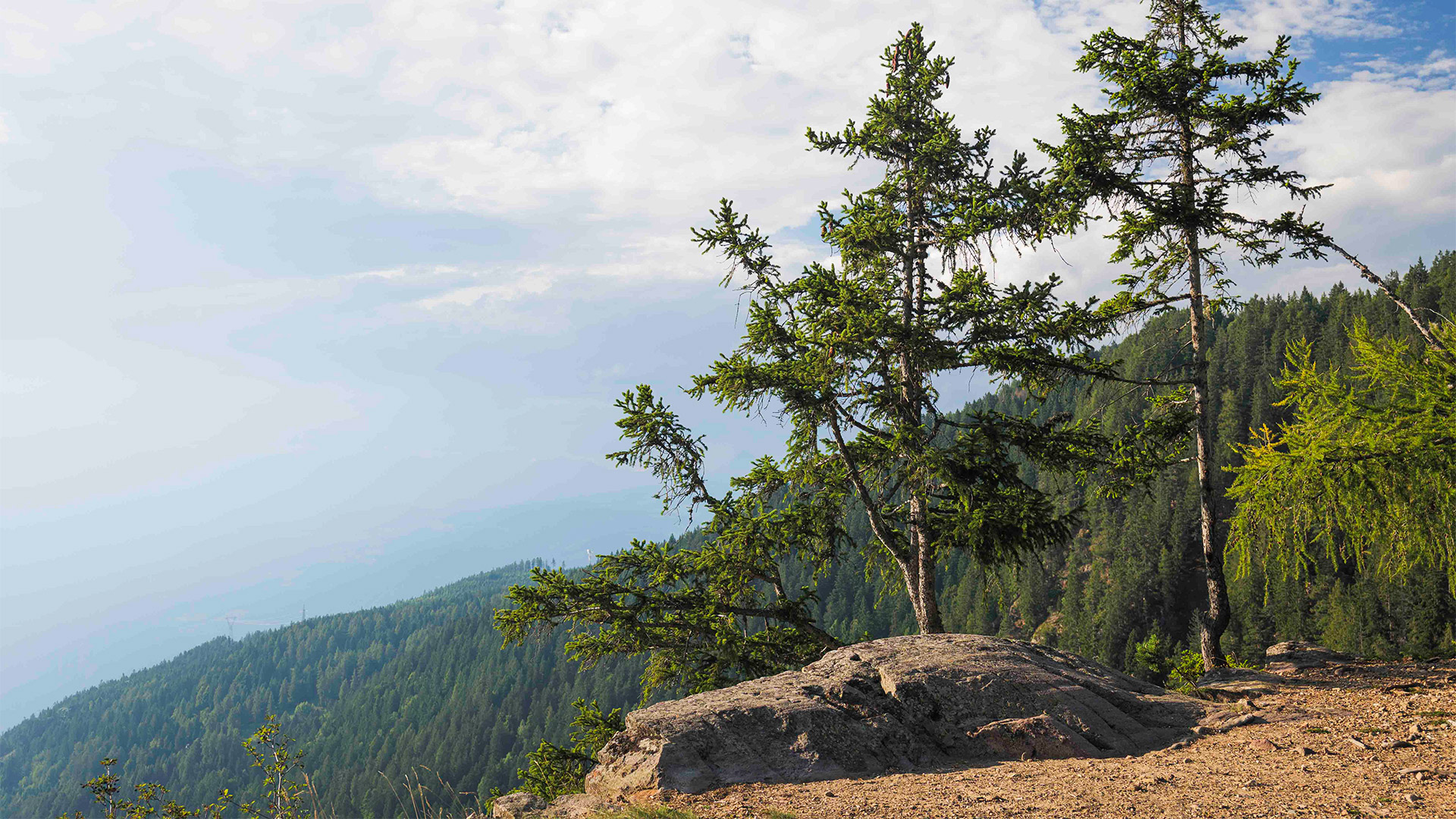
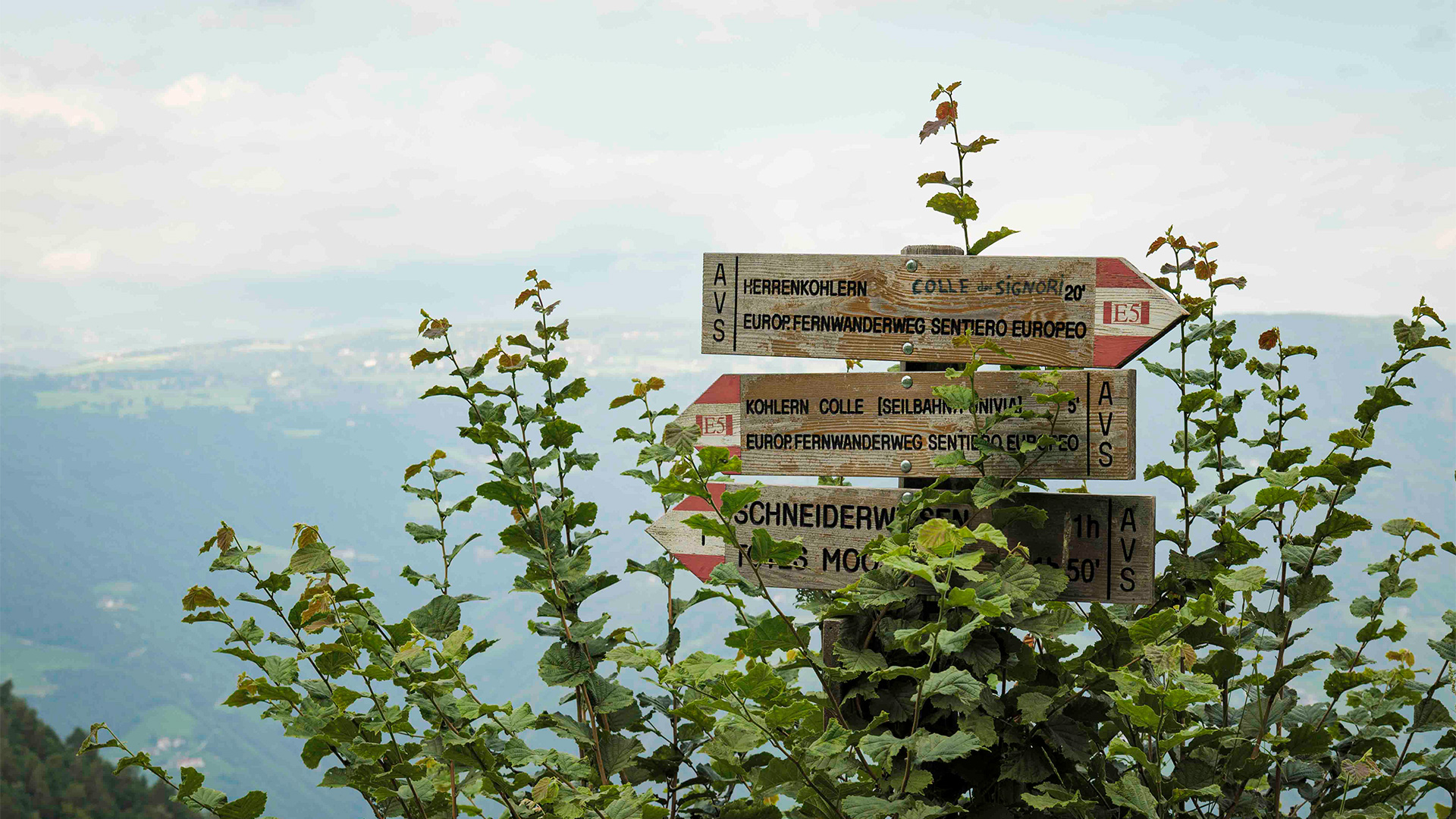
From the playground, follow the E5 path towards Colle dei Signori/Herrenkohlern, from where you can admire a wonderful 180° panorama that sweeps from the Mendola/Mendel to San Genesio/Jenesien, the Forcella Sarentina/Sarner Scharte and the Corno del Renon/Rittner Horn. The little church dedicated to St. Mary was built in 1744. Pass the houses and walk along the forest road to the crossing with trail no. 6. Turn right and walk through the green woods until you come to path no. 5 in the direction of Titschenwarte, the wonderful viewpoint over the Dolomites, which you reach in about 20 minutes. After a short break admiring the Sciliar/Schlern, the Catinaccio/Rosengarten group, the Latemar and the Pala di Santa/Zanggen, leave the little house and follow path no. 5A towards Schneiderwiesen where you can enjoy lunch or a snack. Return to the cable car following trail no. 1.
02 | Walk with a view of Bolzano
8.5 km – 2:45 h – ↑↓ 353m
From Gasthof Klaus follow the path nr. 3 first on an asphalted road and shortly afterwards on a footpath in the direction of La Costa/Seit, which leads to a wonderful viewpoint over Bolzano right below the Telecom antennas. Lunch possibility at Köhlhof (Saturday and Sunday). Cross the road and follow the stone path 3A up to Schneiderwiesen where you can stop for a break. From here, continue along trail no. 6 through the woodland until you reach trail no. E5. Take trail E5 towards Colle dei Signori/Herrenkohlern and return to the cable car.
03 | The north side of Colle/Kohlern
5.5 km – 1:55 h – ↑↓ 310m
From the parking of Bad St. Isidor, head uphill on trail no. 1 through the woods towards Colle/Kohlern. Turn left and follow path no. E5 to Colle dei Signori/Herrenkohlern, from where you can enjoy a wonderful 180° panorama of the Mendola/Mendel, San Genesio/Jenesien, the Forcella Sarentina/Sarner Scharte and Corno del Renon/Rittner Horn. The little church dedicated to St. Mary was built in 1744. Leave the E5 and descend left along trail no. 8 towards Röllhof. Follow trail no. 7 to return to Bad St. Isidor where you can enjoy a good lunch or a traditional snack.
04 | Monte Pozza/Titschen 1616 m, the highest point of Bolzano and the «FLAK» ruins
9.5 km – 3:15 h – ↑↓ 535m
From Gasthof Klaus, follow signpost no. 5 in the direction Titschenwarte to reach the small lake with the old mill next to it. Continue along the forest road until you come to a stone staircase with a wooden handrail on your left. Climb up along the path, which enters a dense forest, and then venture further uphill between roots and rocks along the steep path. Pass the Holy Water Stone and reach the Titschenwarte viewpoint, which opens out onto the Sciliar/Schlern, the Catinaccio/Rosengarten group, the Latemar and the Pala di Santa/Zanggen. Leave the little house behind you and follow path no. 5A for a short distance, after a few minutes’ walk turn left following path no. 5B towards Monte Pozza/Titschen. The highest point at an altitude of 1616 m can be recognised by the stone capital from 1994. A little further on you can admire some ruins: this is the FLAK post placed there by the Wehrmacht (German Armed Forces) of the Third Reich during the Nazi occupation (1943 — 1945) to counter the allied air raids that attempted to bomb the main lines of communication and the war industries of the so-called Operationszone Alpenvorland. Follow the cemented road and then trail no. 1 in the direction of Schneiderwiesen and Colle/Kohlern to return to the cable car.
05 | Overhanging the Sasso Rosso/Rotenstein
10 km – 3:10 h – ↑↓ 445m
From the playground, follow the E5 path towards Colle dei Signori/Herrenkohlern, from where you can admire a wonderful 180° panorama that sweeps from the Mendola/Mendel to San Genesio/Jenesien, the Forcella Sarentina/Sarner Scharte and the Corno del Renon/Rittner Horn. The little church dedicated to St. Mary was built in 1744. Pass the houses and walk along the forest road following the trail E5 to the Totes Moos biotope. Turn right at the biotope and follow trail no. 1A, keeping the pond on the left and the forest road on the right. The little path leads up to the Sasso Rosso/Rotenstein overhang, where you can see the Adige Valley and the villages of Appiano/Eppan, Caldaro/Kaltern and Laives/Leifers. Return to the biotope on the same trail and then continue along trail no. 1 to Schneiderwiesen and then back to the cable car.
06 | From Schneiderwiesen to the three viewpoints of Colle/Kohlern
8 km – 2:40 h – ↑↓ 360m
From the parking of Schneiderwiesen, follow trail no. 1 initially and then trail no. 6 to the right through the green woods until you come to trail no. 5 towards Titschenwarte, the Dolomite viewpoint, which can be reached in about 20 minutes. After a short break where you can admire the Sciliar/Schlern, the Catinaccio/Rosengarten group, the Latemar and the Pala di Santa/Zanggen leave the little house behind you and follow path no. 5A for a short distance, after a few minutes’ walk turn left following path no. 5B towards Monte Pozza/Titschen. The highest point at an altitude of 1616 m can be recognised by the stone capital from 1994. The highest point at an altitude of 1616 m can be recognised by the stone capital from 1994. A little further on you can admire some ruins: this is the FLAK post placed there by the Wehrmacht (German Armed Forces) of the Third Reich during the Nazi occupation (1943 — 1945) to counter the allied air raids that attempted to bomb the main lines of communication and the war industries of the so-called Operationszone Alpenvorland. Follow the cemented road and then trail no. 1 in the direction of Totes Moos. Turn right at the biotope and follow trail no. 1A, keeping the pond on the left and the forest road on the right. The little path leads up to the Sasso Rosso/Rotenstein overhang, where you can see the Adige Valley and the villages of Appiano/Eppan, Caldaro/Kaltern and Laives/Leifers. Return to the biotope on the same trail and then continue along trail no. 1 in direction Schneiderwiesen until the junction with trail no. 1B, which turns left and leads to the Parete Rossa/Rotwand viewpoint. Continue along trail no. 1B until it joins trail no. 1 that leads to Schneiderwiesen.
07 | From Colle/Kohlern to Bolzano via Virgolo/Virgl
10.5 km – 3:20 h – ↑160 m ↓1,010 m
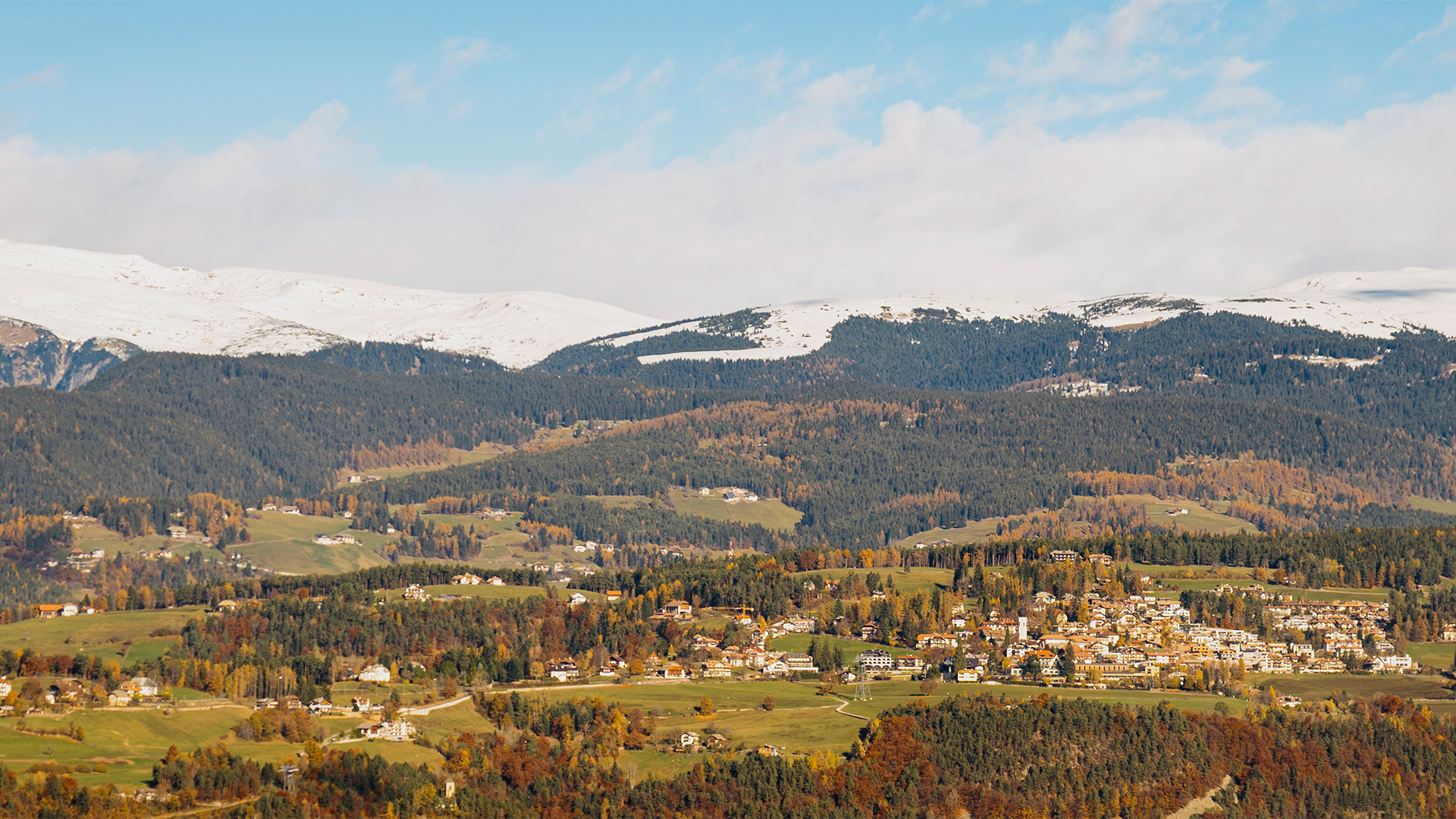
From Gasthof Klaus follow the path no. 3 first on an asphalted road and shortly afterwards on a footpath in the direction of La Costa/Seit, which leads to a wonderful viewpoint over Bolzano right below the Telecom antennas. Lunch possibility at Köhlhof (Saturday and Sunday). Cross the road and follow the path no. 3, pass the little church of St. Henry and after Fritscher turn right towards Bolzano until you cross path no. 10A which leads to Virgolo/Virgl. The baroque Church of the Holy Sepulchre dating from the 17th century and the Church of St. Vigil with gothic frescoes depicting the story of Mary and St. Vigil can be visited on Wednesday afternoons from 3 to 4 p.m. From there you can walk down Via del Calvario/Kalvarienbergstraße to the centre of Bolzano.
08 | To the biotope Totes Moos and beyond!
20 km – 6:25 h – ↑↓ 800m
From the playground, follow the E5 path towards Colle dei Signori/Herrenkohlern, from where you can admire a wonderful 180° panorama that sweeps from the Mendola/Mendel to San Genesio/Jenesien, the Forcella Sarentina/Sarner Scharte and the Corno del Renon/Rittner Horn. The little church dedicated to St. Mary was built in 1744. Pass the houses and walk along the forest road following the trail E5 to the Totes Moos biotope. Continue in the direction of Wölflhof, where you can take a break and eat local specialities and traditional dishes. Then take trail no. 2 through old forests in the direction of Bauer im Walde. Follow the path to Röllhof and from there take trail no. 8 back to Colle dei Signori/Herrenkohlern and then return to the cable car along the E5.
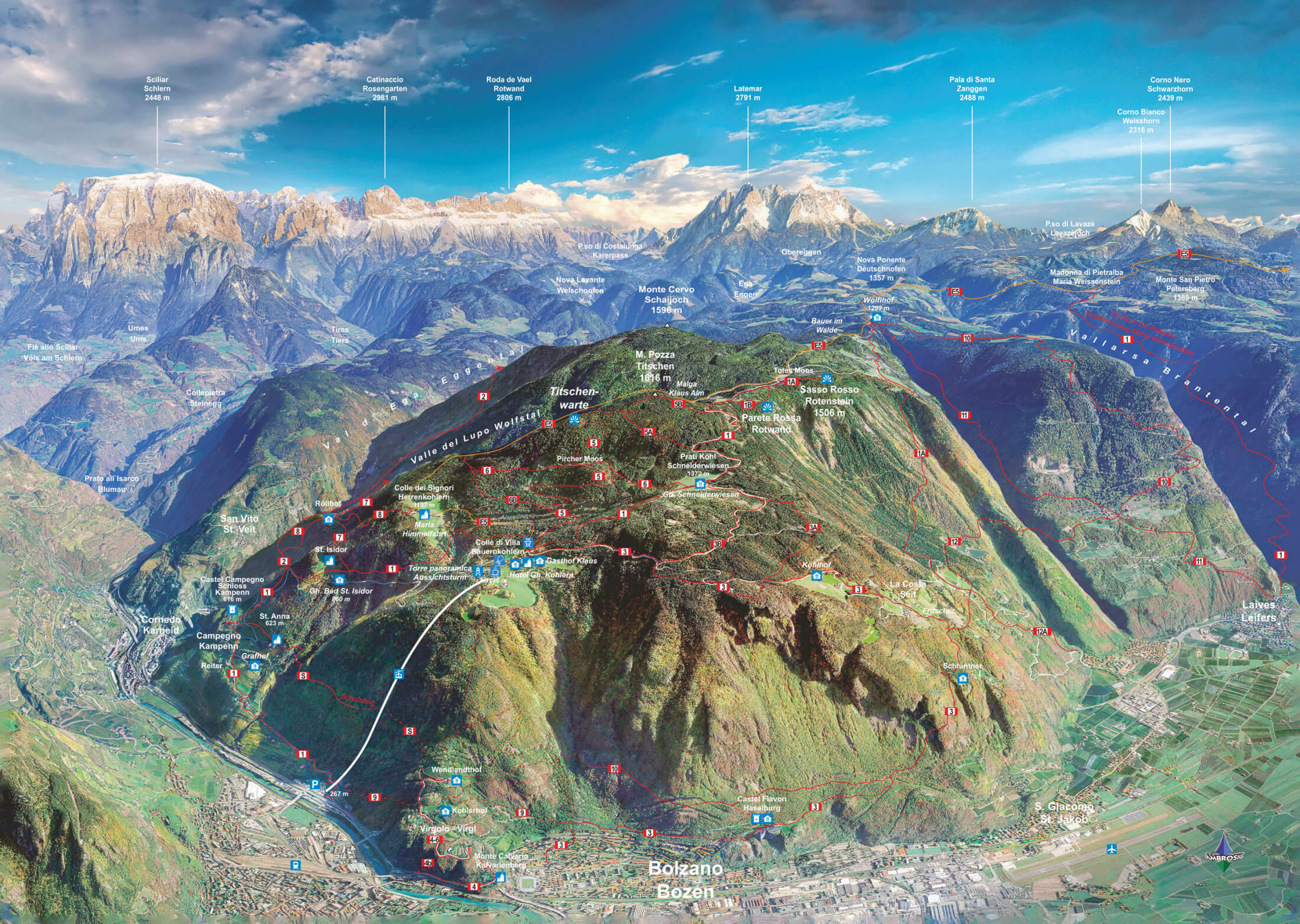
Excursion Destination: Kohlern
Colle – Kohlern Panorama Map
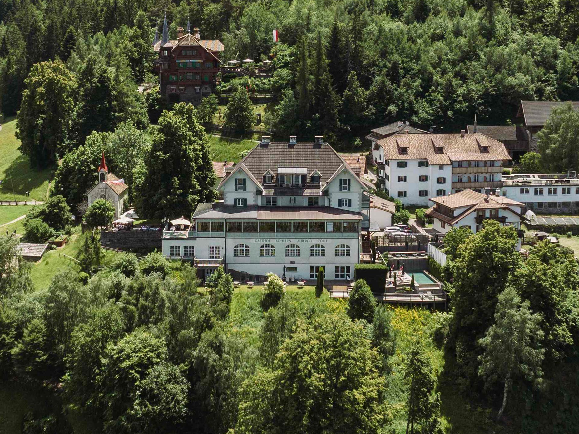
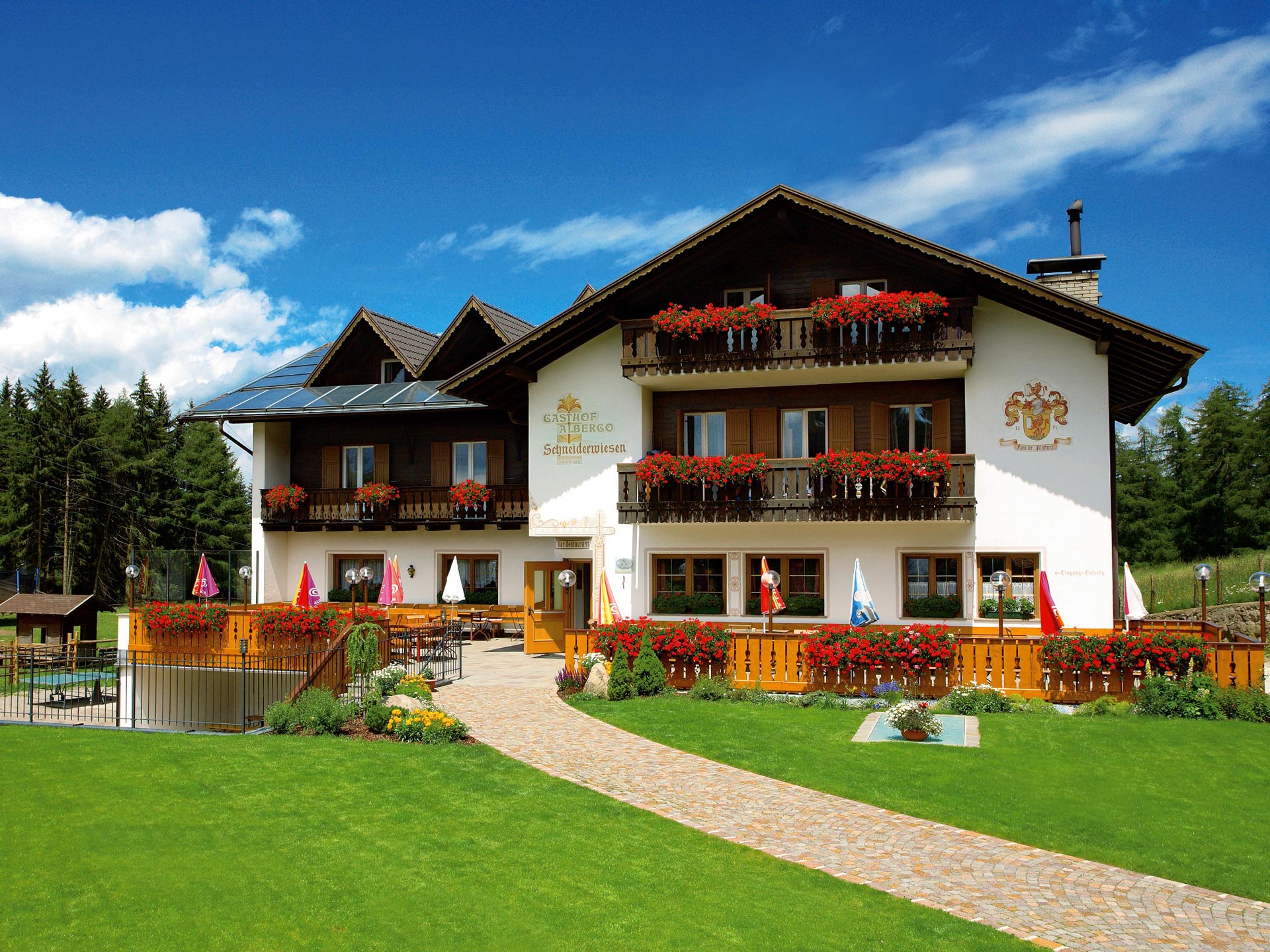
Suggested accommodations
Texts:
Azienda di Soggiorno e Turismo di Bolzano
Verkehrs- und Tourismusamt der Stadt Bozen